LO.ia | Bring Your Own Solution
Quito
Team Updates
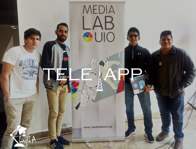

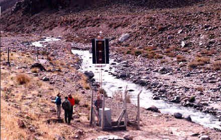


diapo2

diapo1
| <div class="row contenidocuadro" > | |
| <div class="col-md-4"> | |
| <h1>Conversemos!</h1> | |
| <h6>Soy tu compañero de investigación!</h6> | |
| <div class="row" > | |
| <div class="col-md-12"> | |
| <iframe height="400" src='https://webchat.botframework.com/embed/botPruebaS?s=PzpGyJ84IaU.cwA.2SI.KHrj9aI86NhYviSZOJXc6kV61Bvozsw6zBHLgZLII5Y'></iframe> | |
| </div> | |
| </div> | |
| </div> | |
| <div class="col-md-8" > | |
| <div class="row"> | |
| <div class="col-md-4"> | |
| <h2>Analizar Imagen</h2> | |
| </div> | |
| <div class="col-md-8"> | |
| <br/> | |
| <form action="/home/AnalizarImagen" class="form-inline" method="post" enctype="multipart/form-data"> | |
| <div class="form-group"> | |
| <input type="file" class="form-control" name="photo" id="photo" /> | |
| </div> | |
| <div class="form-group"> | |
| <input type="submit" value="Analizar" class="btn btn-primary" /> | |
| </div> | |
| </form> | |
| </div> | |
| </div> | |
| <hr /> | |
| <div style="max-height:450px; overflow: scroll;"> | |
| <center> | |
| @if (ViewBag.imagen != "") | |
| { | |
| <img src="@ViewBag.imagen" height="250" width="250" /> | |
| } | |
| <br /> | |
| <label for="txtCategoria">EVENTO: <input type="text" style="color:#000000;" value="@ViewBag.Categoria" id="txtCategoria" /> </label> | |
| <h2>Últimos eventos registrados por la NASA:</h2> | |
| </center> | |
| <hr /> | |
| <div id="Resultados"> | |
| </div> | |
| </div> | |
| </div> | |
| </div> | |
| <script async defer | |
| src="https://maps.googleapis.com/maps/api/js?key=AIzaSyD7Ol2onPKOBI3qIHPYcp8GWViFWa1kWmA"> | |
| </script> | |
| <script> | |
| $(document).ready(function () { | |
| var categoria = $('#txtCategoria').val(); | |
| if (categoria!="") { | |
| $.ajax({ | |
| url: "https://eonet.sci.gsfc.nasa.gov/api/v2.1/events", | |
| method: "GET", | |
| success: function (respuesta) { | |
| $(respuesta.events).each(function () { | |
| if (this.categories[0].title == categoria) { | |
| console.log(this.geometries[0].coordinates[0]); | |
| var longitud = this.geometries[0].coordinates[0]; | |
| var latitud = this.geometries[0].coordinates[1]; | |
| // var latitud = -110.84084; | |
| // var longitud = 31.78758; | |
| $('#Resultados').append("<p>Lugar: " + this.title + " | Fecha: " + this.geometries[0].date + " </p>"); | |
| $('#Resultados').append("<div id='" + this.id + "' style='height: 200px; width: 100%'> </div>"); | |
| initMap(latitud, longitud, this.id); | |
| } | |
| }); | |
| }, | |
| beforeSend: function () { | |
| }, | |
| complete: function () { | |
| }, | |
| error: function () { | |
| alert('Problemas en la consulta!'); | |
| } | |
| }); | |
| } | |
| }); | |
| function initMap(latitud, longitud, control) { | |
| var uluru = { lat: latitud, lng: longitud }; | |
| var map = new google.maps.Map(document.getElementById(control), { | |
| zoom: 4, | |
| center: uluru | |
| }); | |
| var marker = new google.maps.Marker({ | |
| position: uluru, | |
| map: map | |
| }); | |
| } | |
| </script> | |
| <style> | |
| .wc-header { | |
| background-color: #000000 !important; | |
| } | |
| </style> |
SpaceApps is a NASA incubator innovation program.