


EcoSnap | Trace Invaders
Awards & Nominations
EcoSnap has received the following awards and nominations. Way to go!
The Challenge | Trace Invaders
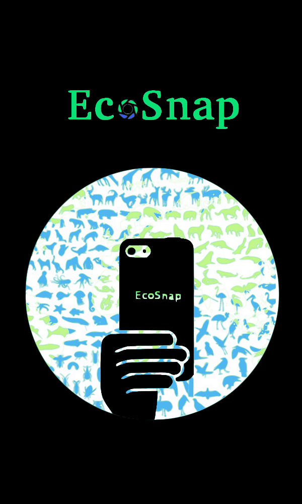
EcoSnap
Crowdsourcing application designed to provide for an unified and open database on the distribution and habitat of various flora and fauna and to arrive at meaningful inferences from the above.
Problem Statement
Develop a tool, such as a crowd-sourcing application, togather information about invasive species in your neighborhood.
Vision
To provide for a common, dynamic and up-to date database for boththe common citizen as well as for scientists and researchers aboutspecie distribution in a target locality, and to spread awarenessabout various ecological problems faced in the modern day world.
Solution
EcoSnap is designed as a community driven location based socialapp with multiple facets of benefits once implemented. Using aninitial database provided by iNat api, the app provides usersinformation about all nearby species of plants and animals of alocality, and a description of each if user so desires. Users alsohave the option to record their sighting of any plant or animal, takea picture or video of the same, and upload. These location andtime-stamped data go through a verification process à la Wikipediato check for factual correctness, and is then added to the centraldatabase. These observations also show up in the social feed ofnearby EcoSnap users, giving them the options to upvote, comment orreport the observation.
Applications, Future Possibilities
Once a sufficiently big time and location stamped database hasformed, this data can be manipulated and extrapolated using ML toarrive at various conclusions and predictions. For example, if aspecies not usually found in a locality is observed, it can be taggedas an alien species, and combated if necessary. If number ofobservations of one particular abnormal species increases, theinference is that the specie has become invasive in nature. Thus theapp can act as an early waring system to effectively tackle alientrace invaders.
Another application would be, with enough time and geo-stampeddata, to trace migration paths of various migratory specieseffectively. The app would also be able to give user notification ifhis or her location is in a migration corridor, approximate timeduring the year when they may be able to observe a passing throughmigratory species, steps they can take to help the species(likeplanting appropriate plants, water baths etc). Also, overlaying thevariations in species density and migration path with geographicaland climatic changes of a location, correlation between these datacan be found and studied by the users.
USP
Providing a social media experience for user while at the sametime collecting useful biodiversity data and spreading ecologicalawareness.
Resources
Initial database on animal distribution provided by iNat api,location and geographic maps by Google maps api
Source code : https://github.com/WishnuViz/ecosnap

SpaceApps is a NASA incubator innovation program.