WebGreenGroup | When Landslides Strike
Awards & Nominations
WebGreenGroup has received the following awards and nominations. Way to go!
The Challenge | When Landslides Strike
Danger Slipping
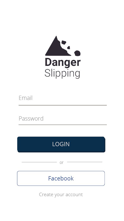
The proposal of the application "Danger Slipping" is to bring security to the people who inhabit or travel Areas of risk of landslides. Using data provided by the NASA API we got information to mark on the map (Google API) the areas where landslides occurr

The proposal of the application "Danger Slipping" is to bring security to the people who inhabit or travel Areas of risk of landslides. Using data provided by the NASA API we got information to mark on the map (Google API) the areas where landslides occurred and maintain a history of sites considered Of risk.
New areas of risk may be included in the application by its users and this data will be analyzed and included In the mapping. In emergencies, the application is equipped with features that enable its user to ask for help with Very easy.
They are all set up in the app: emergency phones and even a survival manual with tips on how to behave in the event of a disaster or even Even identify an area of risk.
CODE:
Client Application: https://github.com/OpenWebGreen/helpme-ionic
Server Application: https://github.com/OpenWebGreen/helpme-api
API's:
Google Maps: https://developers.google.com/maps/?hl=pt-br
SpaceApps is a NASA incubator innovation program.